#488 closed defect (fixed)
Add interpolation capabilities to GMT web service
| Reported by: | Kevin Milner | Owned by: | |
|---|---|---|---|
| Priority: | major | Milestone: | OpenSHA 1.4 |
| Component: | commons | Version: | |
| Keywords: | Cc: |
Description
CyberShake?, among other possible users, needs interpolation capabilities in our GMT Map Generator. This means providing an arbitrarily discretized GeoDataSet? to the GMT map generator, along with interpolation settings, and it using the surface command instead of xyz2grd.
Attachments (1)
Change History (2)
Changed 9 years ago by
| Attachment: | prob_mcer_sa.jpg added |
|---|
comment:1 Changed 9 years ago by
| Milestone: | → OpenSHA 1.4 |
|---|---|
| Resolution: | → fixed |
| Status: | new → closed |
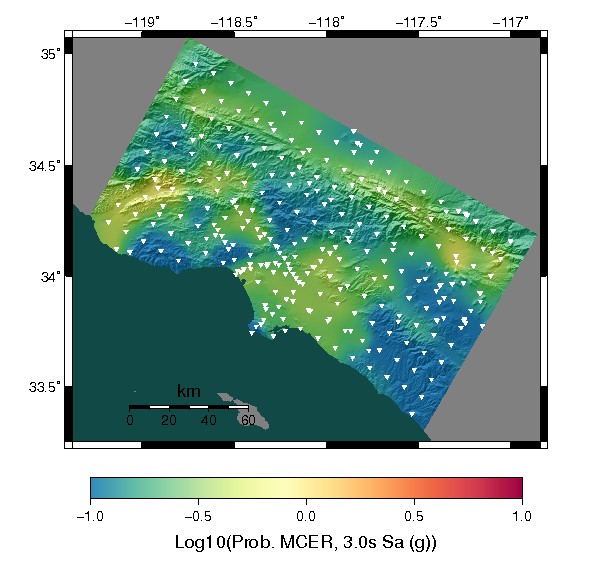
Done in [10938] and [10939]. Not currently exposed via the GUI interface, but will be enabled by calling GMT_Map.setInterpSettings(GMT_InterpolationSettings interpSettings); See JavaDocs? on GMT_InterpolationSettings for details on all of the possible interpolation settings, or just call GMT_InterpolationSettings.getDefaultSettings() for defaults that will probably work fine.
Masking capabilities were also added, as the interpolation will extend far beyond the data region if the plot region is large or non rectangular. This can be activated by calling GMT_Map.setMaskIfNotRectangular(true). The NaN color (gray in the attached example) will be used outside of the map region.
Example:

Example Interpolated Map